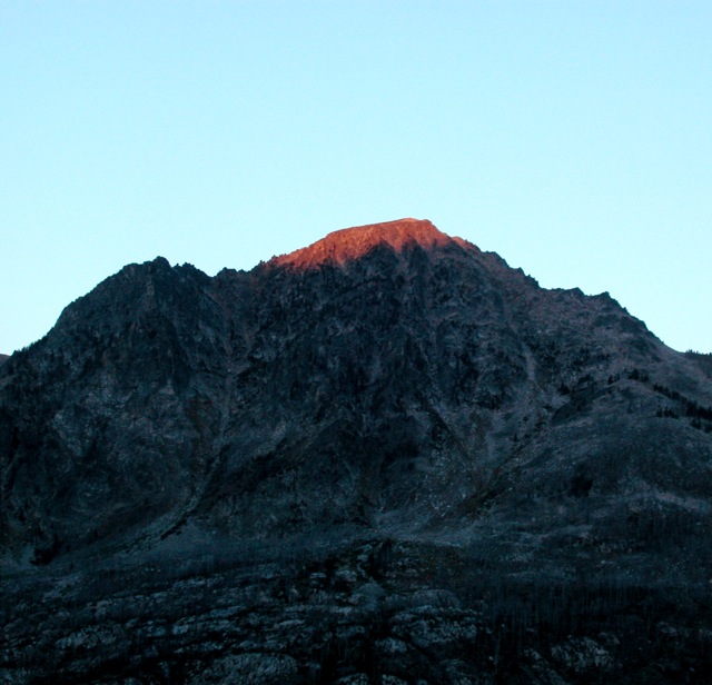
Dawn light hits Mosquito Peak.
I continued climbing the grass and made good progress for a while.

But soon I encountered deadfall and talus![]() . I kind of enjoy routefinding through this sort of stuff, but it is time-consuming.
. I kind of enjoy routefinding through this sort of stuff, but it is time-consuming.
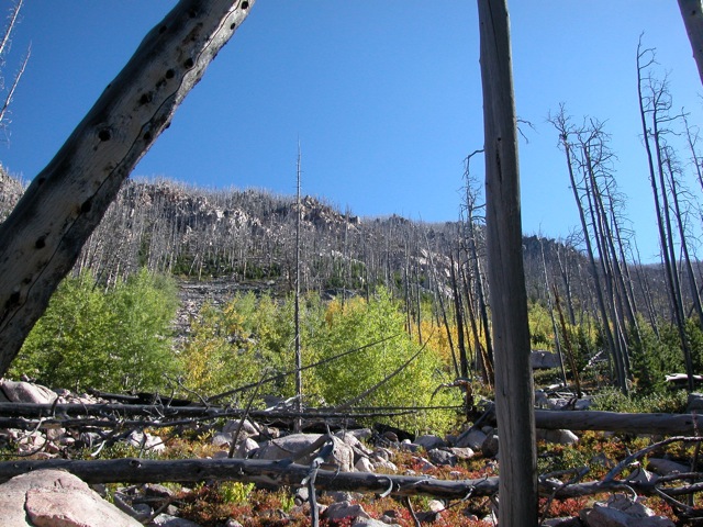
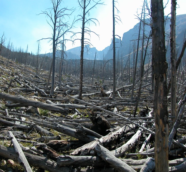
In some places, there was a lot of deadfall.
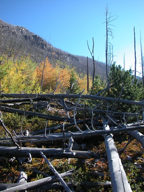
Especially where avalanches had piled it up.
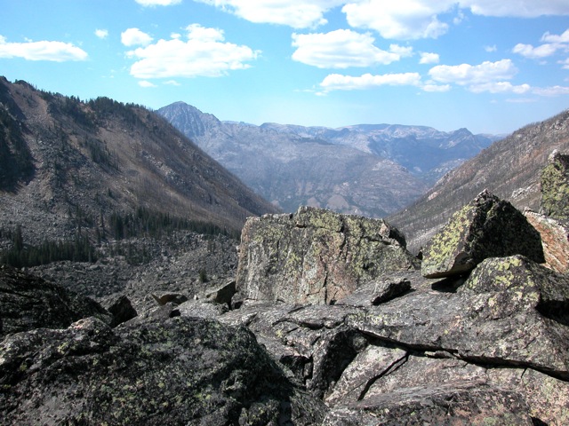
Eventually, I got to the boulder field, the terminal moraine of the ancient glacier that had carved the upper Herein Creek cirque. This called for a new set of routefinding skills.
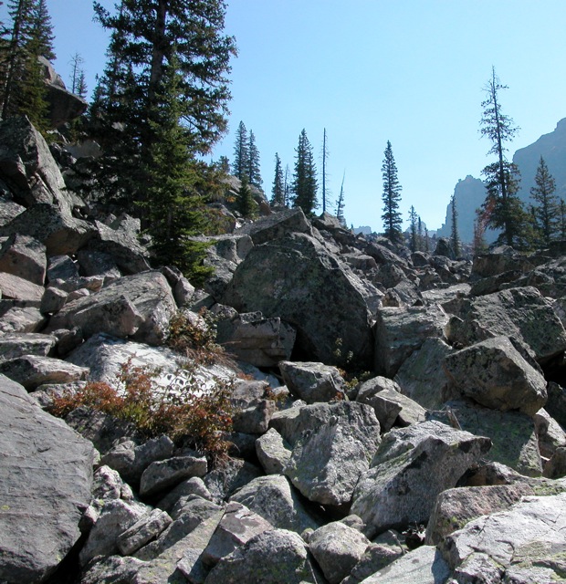
This view is toward the South; I was heading East (left).
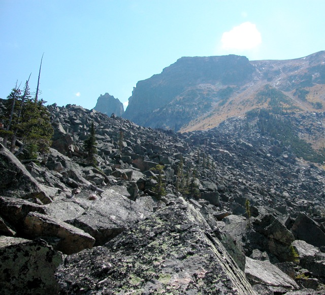
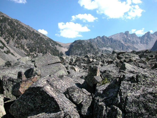
As it got steeper, the boulder got bigger.
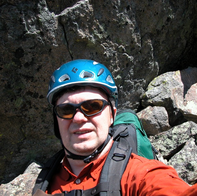
Note to self - smile!
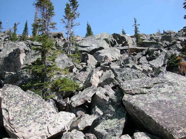
At the steepest part, where the boulders were huge, I found myself having to make low class 5 moves. The big boulder in the middle of this picture was about 60 feet across and 30 feet high - I climbed up from the other side of it before realizing that it lead to a 40 foot drop off and had to down climb![]() .
.
Once over the steep part, there was still plenty of talus to enjoy!
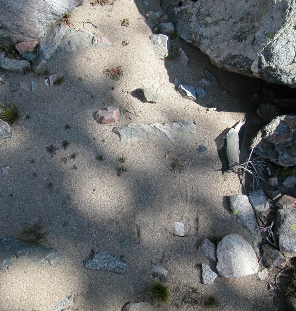
Herein Creek is shown on the map as a permanent stream, but I found it dry![]() . This was a serious problem because I was nearly out of water. The map showed a lake (with no outlet stream) about a mile and 400 ft vertical up from my intended campsite. I dumped most of my gear and headed off to fetch water - thankfully, I found the outlet stream in some talus about a quarter mile from camp.
. This was a serious problem because I was nearly out of water. The map showed a lake (with no outlet stream) about a mile and 400 ft vertical up from my intended campsite. I dumped most of my gear and headed off to fetch water - thankfully, I found the outlet stream in some talus about a quarter mile from camp.
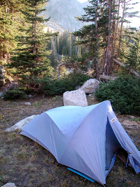
I found a great campsite.
| <- Previous Up Next -> |
|