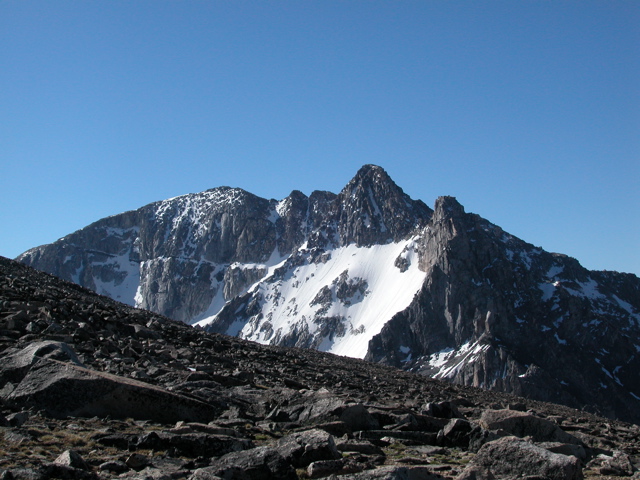
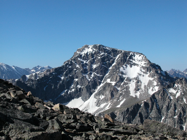
The next morning, we crossed a couple of snow fields and more talus slope until we could see Mt. Wood and Mt Hague. On their Southern sides, these mountains are non-technical - basically a high-altitude hike - what we found on their North sides was quite different.
Mt. Wood:
Mt. Hague:
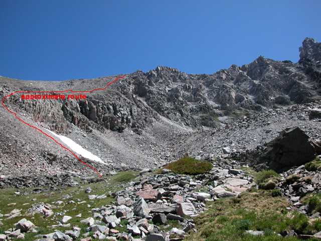
The ridgeline between them looked very technical and the saddle connecting the Stillwater Plateau (where we were standing) to Mt. Wood also looked difficult. We started across the saddle, but soon decided that we had to retreat. We descended a very steep scree slope to one of the unnamed lakes above Lake Wilderness. This was a challenging descent - it's hard to get a feel for the steepness and instability of the scree from the photo.
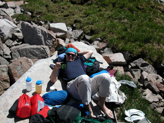
Although we had brought a climbing rope and climbing harnesses, we had intended to use them to rappel down and we had not brought the technical gear we thought would be necessary for climbing the North faces of these peaks. So, for the second year, we decided to abandon the attempt. It was time for lunch.
So now we had to re-plan: we needed to get over the ridgeline and into the West Rosebud drainage so that we could get picked up. We decided to descend past Lake Wilderness to Woodbine Creek and then ascend Woodbine Creek and cross the 10,600ft pass at its upper end.
| <- Previous Up Next -> |
|