We headed down the drainage to Lake Wilderness. There were a few places where the trees choked our route and made things difficult, but overall it was beautiful, untouched wilderness with water meadows, granite outcroppings and pine/fir forest.
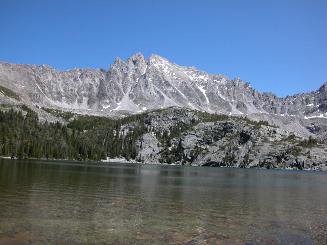
Lake Wilderness, looking South at an unnamed 11,331 ft peak:
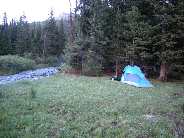
We needed to cross the outlet stream, but it was choked with bushes, so we ended up taking off our boots and wading a hundred feet or so through the lake. The water is all from snowmelt and it was cold! We found a nice route at the base of the steep talus fields South of the outlet stream and made our way downstream - the water meadows were gorgeous! Once we reached Woodbine Creek, we made our way upstream on the East bank. In some places the going was tough with dense forest and steep slopes, in other places it was open and park-like. We continued until we got to an open meadow and made camp.
The next morning we continued up Woodbine Creek, through mostly water meadows until the stream started to dwindle. Our goal was the 10,600ft pass at the top of the valley.
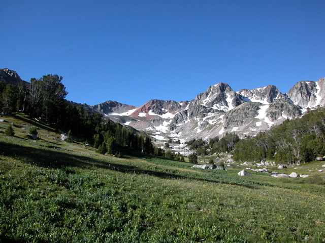
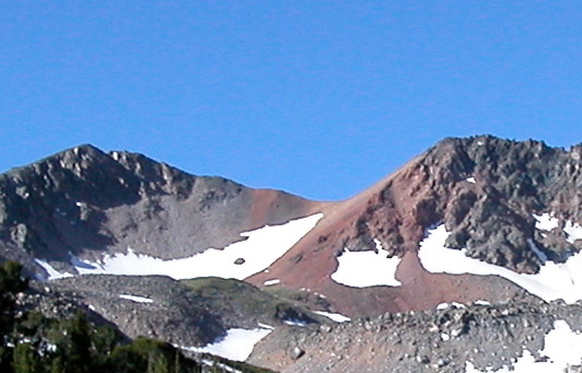
We made our way up the talus slopes and onto the red granite scree of the pass. The last 400ft or so were climbed by kicking steps in the snowfield.
| <- Previous Up Next -> |
|