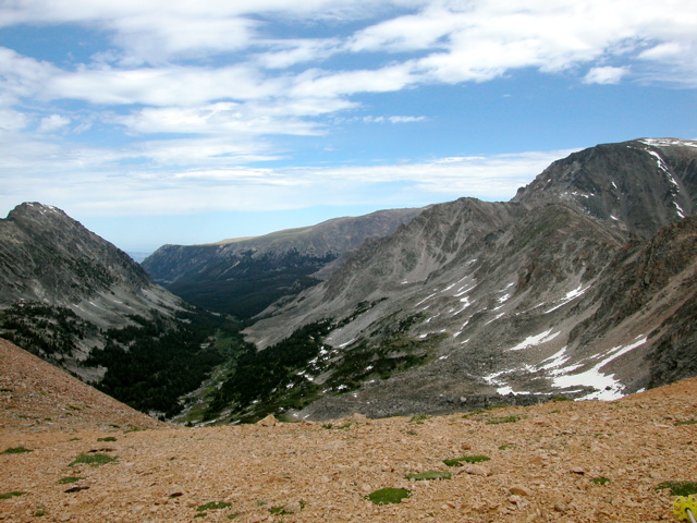
Here is the view looking North from the Pass. This is the Woodbine Creek drainage, the Stillwater Plateau is in the distance, and the Stillwater drainage is off the left side of the photo.
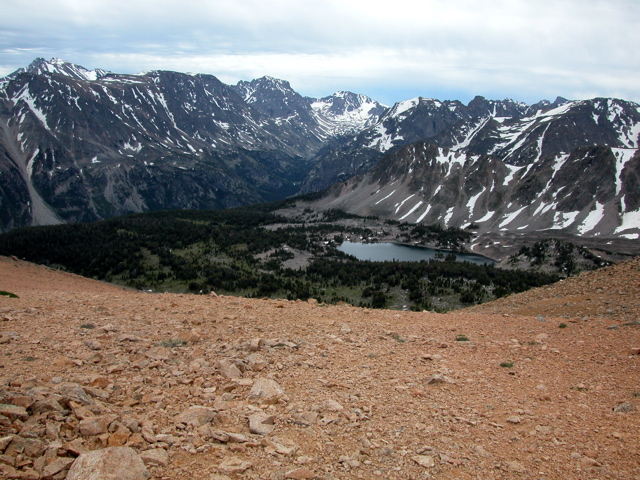
Here is the view looking South from the Pass. Nemidji Lake is visible, Grasshopper Glacier is in the distance, and Granite Peak (highest point in MT) is on the left.
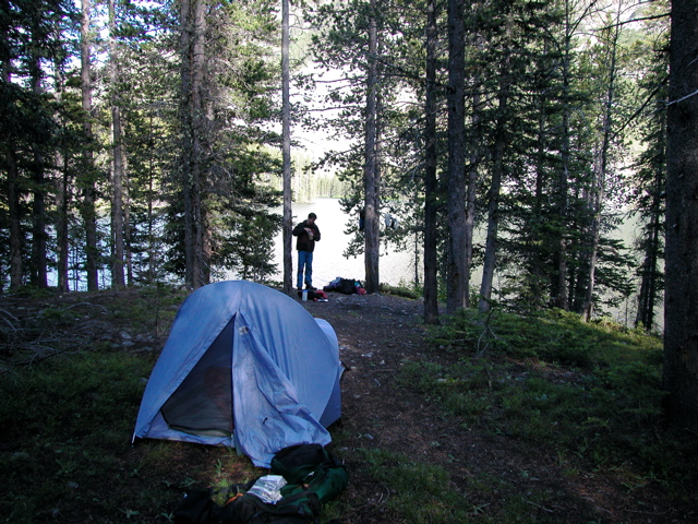
The descent to Weeluna Lake was steep and difficult. We ate lunch on the North side of the lake and then made our way around the West side and followed the South shore until we reached the outlet stream. We then tried to find a route (marked on the map) over to Nemidji Lake - we couldn't find it, but it was easy hiking through the parks and occasional low-angle talus fields. It started to rain. We managed to find the route below Nemidji Lake and tried to follow it down to Silver Lake - unfortunately, it was very overgrown in places and we lost it. That lead to a nasty bit of bushwacking through dense forest. It took us a long time to find our way down to Silver Lake and set up camp.
| <- Previous Up Next -> |
|